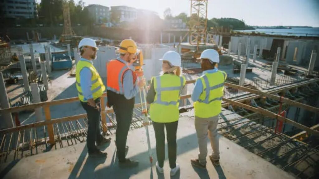
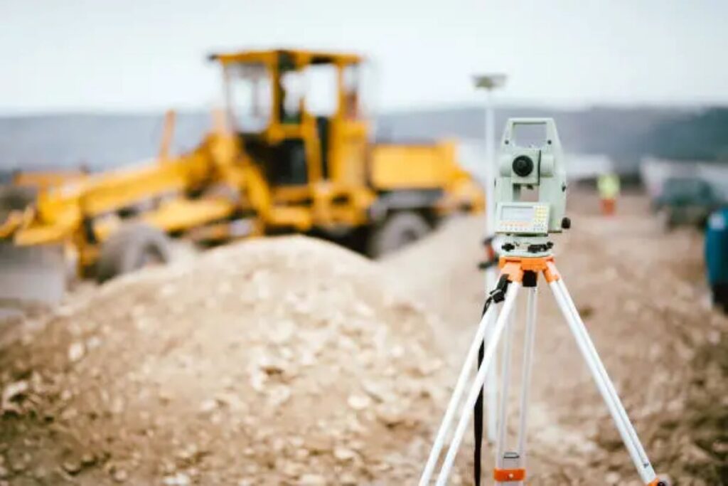
Engineering surveying plays a pivotal role in the successful execution of civil and structural projects. It encompasses a range of activities that ensure the accurate measurement and mapping of land, which is essential for the planning and construction of various infrastructures. This article delves into the significance of engineering surveying, its methodologies, and how it underpins the integrity of civil and structural work.
The Importance of Engineering Surveying
Engineering surveying is not merely a preliminary step in construction; it is a foundational component that influences the entire project lifecycle. It provides critical data that informs design decisions, ensuring that structures are built on solid ground and in compliance with regulatory standards.
Precision and Accuracy
One of the primary benefits of engineering surveying is the precision it brings to construction projects. Accurate measurements are vital for determining site boundaries, elevations, and the layout of structures. Any discrepancies in these measurements can lead to significant issues down the line, including structural failures and costly rework.
Advanced technologies such as GPS and total stations have revolutionised the field, allowing surveyors to achieve levels of accuracy that were previously unattainable. This precision is essential not only for the initial stages of construction but also for ongoing maintenance and assessments throughout the lifespan of the structure. The integration of 3D laser scanning technology has further enhanced the capabilities of surveyors, enabling them to capture detailed spatial data in a fraction of the time it would take using traditional methods. This not only streamlines the surveying process but also provides architects and engineers with a comprehensive view of the site, facilitating more informed decision-making.
Risk Mitigation
Engineering surveying also plays a crucial role in risk management. By conducting thorough site assessments, surveyors can identify potential hazards such as unstable soil conditions or nearby water sources that may affect construction. This proactive approach allows engineers and project managers to devise strategies to mitigate these risks before they escalate into serious problems.
Additionally, accurate surveying helps ensure compliance with local regulations and environmental standards, reducing the likelihood of legal disputes and project delays. By addressing these factors early in the planning process, stakeholders can save both time and money. Furthermore, the role of engineering surveying extends beyond the construction phase; it is integral to the long-term sustainability of infrastructure. Regular surveys can monitor changes in the environment or structural integrity, allowing for timely interventions that can prolong the life of a structure and ensure public safety. This ongoing relationship between surveying and maintenance underscores the importance of incorporating engineering surveying into every stage of a project, from conception to completion and beyond.
Key Surveying Techniques in Civil Engineering
Various surveying techniques are employed in civil engineering, each serving a specific purpose. Understanding these techniques is essential for appreciating how they contribute to the overall success of a project.
Topographic Surveys
Topographic surveys are fundamental in civil engineering as they provide a detailed representation of the terrain. These surveys capture the contours, elevations, and features of the land, enabling engineers to understand how the landscape will interact with proposed structures.
By analysing topographic data, engineers can optimise designs to fit the natural environment, reducing the need for extensive earthworks and minimising environmental impact. This not only enhances the sustainability of projects but also leads to cost savings. Additionally, topographic surveys can reveal critical information about drainage patterns and natural water flow, which is vital for preventing flooding and ensuring proper water management in the design of infrastructure.
Boundary Surveys
Boundary surveys are essential for establishing property lines and ensuring that construction projects adhere to legal requirements. These surveys help prevent disputes between neighbouring properties and ensure that the project remains within its designated area.
Accurate boundary surveys are particularly important in urban settings where space is limited, and the potential for encroachment is high. By clearly defining property lines, stakeholders can avoid costly legal battles and maintain good relationships with adjacent landowners. Moreover, boundary surveys often involve the use of advanced technologies such as GPS and GIS, which enhance precision and efficiency, allowing for a more comprehensive understanding of the property in question.

Construction Surveys
Construction surveys are conducted during the construction phase to ensure that the work aligns with design specifications. These surveys involve checking the location and elevation of structures, as well as monitoring any changes that may occur throughout the construction process.
Regular construction surveys help identify deviations from the original plans, allowing for timely corrections. This ongoing oversight is crucial for maintaining the quality and safety of the project, ultimately leading to a successful outcome. Furthermore, construction surveys can also include the assessment of existing utilities and infrastructure, ensuring that new developments do not interfere with essential services. This proactive approach not only mitigates risks but also promotes a smoother construction process, facilitating better communication among contractors, engineers, and project managers.
Technological Advancements in Engineering Surveying
The field of engineering surveying has seen significant advancements in technology, which have enhanced both the efficiency and accuracy of surveying practices. These innovations are transforming the way surveyors operate and are contributing to the overall success of civil and structural projects.
3D Laser Scanning
3D laser scanning is one of the most exciting developments in engineering surveying. This technology allows surveyors to capture detailed, three-dimensional representations of a site in a fraction of the time it would take using traditional methods. The resulting data can be used for various applications, including design, analysis, and even virtual reality simulations.
By providing a comprehensive view of the site, 3D laser scanning helps engineers make informed decisions and reduces the risk of errors during construction. This technology is particularly beneficial for complex projects where precision is paramount.
Geographic Information Systems (GIS)
Geographic Information Systems (GIS) have become invaluable tools for engineers and surveyors alike. GIS allows for the integration of various data sources, enabling professionals to analyse spatial relationships and make data-driven decisions.
With GIS, surveyors can overlay different datasets, such as topography, land use, and infrastructure, to gain insights into how these factors interact. This holistic view is essential for effective planning and can lead to more sustainable and efficient project outcomes.
The Role of Engineering Surveyors in Project Management
Engineering surveyors are integral to the project management process, serving as a bridge between the design and construction phases. Their expertise ensures that projects are executed smoothly and efficiently, minimising delays and maximising value.
Collaboration with Engineers and Architects
Surveyors work closely with engineers and architects to provide the necessary data that informs design decisions. This collaboration is crucial for ensuring that the proposed structures are feasible and compliant with local regulations.
By engaging surveyors early in the design process, project teams can identify potential issues and make adjustments before construction begins. This proactive approach leads to more successful outcomes and reduces the likelihood of costly changes during the construction phase.
Quality Assurance and Control
Engineering surveyors play a vital role in quality assurance and control throughout the construction process. By conducting regular surveys and assessments, they ensure that the work is being carried out according to the approved plans and specifications.
This oversight helps maintain high standards of quality and safety, ultimately contributing to the longevity and durability of the structures being built. In an industry where safety is paramount, the role of engineering surveyors cannot be overstated.
Conclusion
Engineering surveying is an essential component of civil and structural work, providing the data and insights necessary for successful project execution. From ensuring precision and accuracy to mitigating risks and enhancing collaboration, the contributions of engineering surveyors are invaluable.

As technology continues to advance, the field of engineering surveying will only become more integral to the construction industry. By embracing these innovations and recognising the importance of surveying, stakeholders can ensure that their projects are built on a solid foundation, both literally and figuratively.
In summary, the integration of engineering surveying into civil and structural work not only enhances the efficiency and effectiveness of projects but also promotes sustainability and safety. The future of construction relies on the expertise of engineering surveyors, making their role more critical than ever.
Related : Why an Engineering Surveyor is Essential on Major Infrastructure Projects
